
Burlington ZIP Directory Coverage
Official sources verify one main Burlington postal point and distinguish it from West Burlington and Middletown. They do not publish a complete map proving that every address with the Burlington label lies inside the incorporated city. The coverage table therefore keeps postal area, civil municipality, and certainty separate. For any house or business, the USPS ZIP Code Lookup remains the address-level authority.
| ZIP Code | Areas Covered | Post Office | Notes |
|---|---|---|---|
| 52601 | Verified Burlington postal point; exact incorporated coverage not established | Burlington Post Office, 300 N Main St | Main postal clue, not a full civil-boundary list |
| 52655 | West Burlington, a separate municipality | West Burlington Post Office, 201 Broadway St | Adjacent regional postal area, not Burlington city |
| 52638 | Middletown and neighboring route context | Verify the exact address through USPS | Not Burlington without address-level confirmation |
No official complete split-boundary map, ZIP realignment year, PO-box-only ZIP, unique-institution ZIP, or ZIP-wide population table was found for Burlington. That gap is important. A trustworthy Burlington ZIP code directory should say what is verified and send a street address to USPS, county GIS, or the correct local custodian instead of drawing a boundary from a generic ZIP list.
Verify a Burlington ZIP Code
Enter the street address, Burlington or the suspected postal city, and Iowa in the official USPS tool. Keep the returned preferred city, five-digit code, and ZIP+4 together. Do not replace the result with the city name someone expects. A mismatch may reveal a postal route that crosses a civil boundary, a separate West Burlington address, or a rural delivery context that county records describe differently.
| USPS input or result | How to record it |
|---|---|
| Street address | Use the full delivery address, including unit when applicable |
| City and state | Submit the suspected postal city with Iowa |
| Preferred city | Retain the USPS label exactly as returned |
| ZIP and ZIP+4 | Save both; ZIP+4 narrows a delivery segment |
The pictured USPS lookup page is the official first stop for a Burlington address.
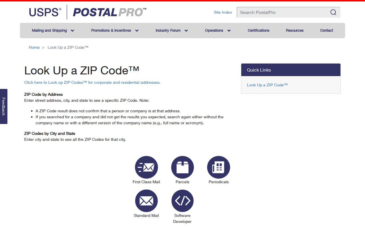
Its address-based method is more precise than a citywide list. Save the query and access date before moving from postal geography to Burlington resident records.
Burlington 52601 Postal Point
USPS lists the Burlington Post Office at 300 N Main Street, Suite 100, with the full postal label Burlington IA 52601-9998. The station establishes the verified Burlington postal point and offers an official service listing. It does not prove that every 52601 parcel falls inside the city's incorporated boundary or that every person using the code is a Burlington resident.
The official Burlington Post Office listing is preserved in the image below.
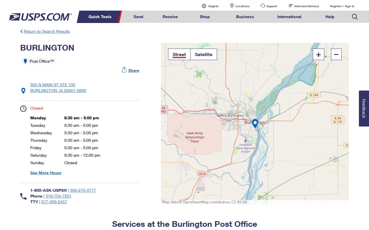
The station address can confirm the local postal center. For a home, parcel, or voter question, verify the individual address rather than borrowing the post office's ZIP+4.
Note: USPS hours and services can change, so use the live station listing when the visit itself matters.
Burlington ZIP Scope Traps
West Burlington is not a neighborhood label for Burlington. It is a separate municipality with the 52655 postal point and a post office at 201 Broadway Street. Middletown appears in nearby postal context under 52638. Neither code should be folded into Burlington city records merely because a regional source uses Burlington loosely.
This distinction affects every later query. Census QuickFacts reports Burlington city statistics, while Des Moines County Elections publishes countywide figures. The Assessor may display a city field, USPS supplies a preferred delivery city, GIS places the parcel, and a recorder document may show a taxpayer or return mailing address. Each field has a different job. Compare like with like and keep the date and geography attached.
Scope check. Keep municipality, county, postal city, ZIP, and parcel site address in separate columns before deciding that a record belongs to Burlington.
Search Burlington Residents by ZIP
A ZIP narrows some name searches but cannot produce a complete Burlington roll. The Iowa voter lookup requires a ZIP with a first and last name; it does not let the public browse everyone in that code. The Assessor residential form uses house number, street, city, parcel, deed holder, legal description, and land fields, not a documented ZIP-wide filter. The Treasurer searches owner, parcel, receipt number, or property street address. County GIS maps parcels rather than supplying a postal resident list.
- Verify the full address and preferred postal city with USPS. Save the ZIP+4 when returned.
- Check the Des Moines County Assessor or Treasurer using the exact house and street, owner, or parcel field they provide.
- Open county GIS to confirm parcel site, nearby civil boundary, and map context. Do not treat its parcel label as a mailing label.
- For a named voter, submit first name, last name, and ZIP through the Secretary of State tool. Follow its intended scope.
- Carry a parcel or owner name to the Recorder, Iowa Land Records, or a precise municipal-record request when the question calls for it.
Once the code narrows to a named road, the Burlington street directory explains the full street-level record chain. That keeps the Burlington ZIP code directory focused on postal scope rather than repeating address research.
Burlington ZIP Voter Fields
The Iowa voter lookup uses ZIP as one of three required initial fields. First and last name each accept up to 50 characters, while ZIP accepts five numeric characters. A broad or ambiguous match may trigger a house number and full birth date. Those conditional details should be used only inside the official form and not copied into a public research note.
| Lookup field | Type | Required | Meaning |
|---|---|---|---|
| First name | Text, max 50 | Yes | Name match |
| Last name | Text, max 50 | Yes | Exact spelling matters |
| ZIP code | Numeric, max 5 | Yes | Current registration and polling query |
| House number | Numeric | Conditional | May separate broad matches |
| Birth date | Date | Conditional | Used privately for disambiguation |
A result confirms current registration and polling information, not a historical address. Historical or bulk voter material requires the proper list-request route and lawful intended use. Protected identification fields and confidential-address participants are not part of ordinary public access.
ZIP Searches With Narrow Scope
The Iowa Sex Offender Registry includes basic, advanced, map, telephone, email, name, alias, and ZIP options. It is a specialized current registry under Iowa law, not a directory of Burlington residents. A ZIP query must retain the registry's status, update, accuracy, and notification limits. It should never be used to label people beyond what the official record states.
The pictured Iowa registry entry page shows the separate ZIP and map search route.
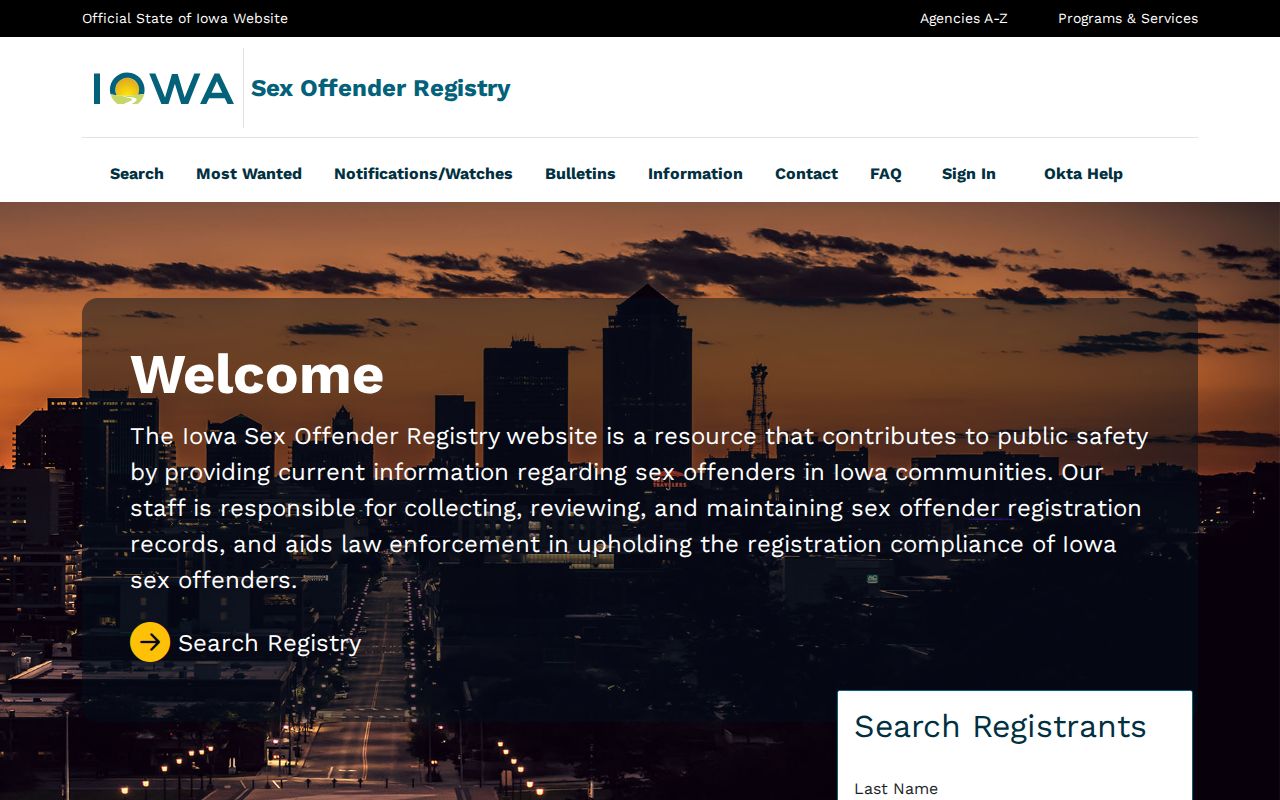
This image belongs here because it demonstrates a ZIP-capable source with a narrow legal purpose. Its results cannot fill gaps in the Burlington ZIP code directory or establish the full population of a postal area.
Burlington Address Labels Differ
A parcel site address identifies where county mapping places land. An assessor mailing address may show where tax mail goes. A recorder filing can contain taxpayer and return addresses. USPS gives a delivery label. None of these fields automatically names an occupant. Burlington research is more accurate when each value stays under its source label.
- Situs address
- The site or physical location attached to a parcel in property records.
- Mailing address
- The place designated for correspondence; it may differ from the property.
- Parcel
- A mapped unit of land identified by the county for assessment and record links.
- Preferred city
- The city label USPS assigns to a delivery address; it is not always a civil-boundary statement.
The Library adds a historical caution: Burlington street numbering changed in 1938. Old numbers in reverse directories, newspapers, Sanborn maps, and deeds need a dated crosswalk. A modern ZIP alone cannot bridge that change.
Burlington Public Library holds city directories beginning in 1856, reverse-by-address material from 1889, and phone directories from 1934. Its Sanborn map years include 1886, 1892, 1900, and 1931, with additions through 1950. Those dated sources can connect an old street label to a person or building, while county GIS historic basemaps and later aerial imagery add parcel context. Cite the year of every map or directory. A historical entry shows an association at publication time, not continuous presence at the address or within today's municipal line.
When an old and new number may refer to the same place, save both forms and the source that supplies the bridge. Then search the parcel and deed systems with the modern site address while keeping the historical wording in the research note. This method prevents a postal code or modern map label from erasing a real Burlington address change.
Burlington ZIP and City Limits
ZIP routes are designed for mail delivery. Burlington's city limits, Des Moines County jurisdiction, parcel situs, election precincts, and school or historic districts answer different questions. The Mississippi River and bluff setting, adjacent West Burlington, and rural county areas make scope mistakes easy. Use USPS for delivery, county GIS for parcel geography, and city or county custodians for jurisdiction.
The Des Moines County GIS Mapping App can identify parcels, adjacent land, layers, historic basemaps, measurements, and exports, although its dynamic field labels and complete ZIP layer were not available in the research capture. Burlington's verified postal anchor remains 52601. That fact does not support a claim that every address in the code is incorporated Burlington.
- ZIP vs ZIP+4
- A ZIP is a five-digit delivery area. ZIP+4 narrows the destination to a smaller delivery segment.
- PO-box ZIP
- A code or subarea used for post-office boxes rather than ordinary street delivery.
- Unique ZIP
- A code assigned to one large organization or delivery recipient. None was verified for Burlington.
- Carrier route
- A postal delivery path inside a ZIP. It is not the same as a city ward or parcel boundary.
Boundary rule. Treat a postal code as a clue. Confirm Burlington civil jurisdiction with GIS or the responsible city and county office.