
Walk a Burlington Street by Address
Begin with one exact address, not a person's name. Burlington has no single public roll that proves who lives in each home. The Des Moines County Assessor can associate an address with a parcel and deed holder, but that is an assessment record. The Treasurer shows a tax account. The Recorder preserves instruments, while a voter tool or old directory supplies a different, dated association. A sound street-by-street search keeps those roles apart.
- Confirm the delivery label through USPS, especially near West Burlington or the rural edge.
- Search the Assessor by house number and street. Save the exact PIN and legal description.
- Open that parcel in DMC WebGIS. Identify the lots beside it and note map-layer dates.
- Use the parcel or deed-holder name in Iowa Land Records, then ask the Recorder about older books.
- For a current individual, use the Iowa voter lookup only with the required name and ZIP. For an older association, consult the Library's reverse directories.
The flow is address to parcel to deed holder to recorded instruments, then to a voter or directory clue when appropriate. It does not turn any one field into proof of present occupancy. When the goal changes to verifying just one named person, the Burlington resident lookup uses a different evidence chain.
Burlington Street Search Fields
The Des Moines County Assessor residential search offers far more than a plain address box. All fields are optional, and the page warns that too many criteria can exclude a match. A percent sign works as a wildcard where the form indicates it. No account or payment was shown for this public search.
| Field | Input | Best street use |
|---|---|---|
| House number and street | Text | Find one physical address |
| PIN | Text | Repeat a known parcel query |
| Deed holder or contract buyer | Text | Test a named property link |
| City | Select | Limit a same-name street by place |
| Description, block, lot | Text | Match platted land |
| Section, township, range | Text | Check non-city land descriptions |
| Lot area | Min/max acres | Narrow by parcel size |
The form also filters all parcels or parcels with photos. Its live property-card field layout and coverage date were not captured, so report only what an actual result displays. The Assessor is at 513 N Main St, fourth floor, and can be reached at 319-753-8224 when the web form does not settle a parcel question.
A broad street search may return several parcels, including lots with no building photo or a legal description that does not read like the mailing address. Start with house number and street, then clear the form before testing a PIN or deed-holder name. Saving each result as a separate dated observation makes it easier to spot whether a difference came from the query or from another county system.
Map Burlington Streets in WebGIS
DMC WebGIS is the visual part of a Burlington address-record workflow. The mapping commission grew from a 2001 agreement among Des Moines County, Burlington, and West Burlington. Its tools support parcel identification, drawing and measurement, PDF export, historic basemaps, and Pictometry views from 2008, 2009, and 2012, including flood imagery.
Use the map to see which parcel polygons front the road and which lots touch the subject parcel. Layer dates matter. The current app is JavaScript-driven, and its exact live field labels did not appear in the research capture. GIS can show a map relation, not legal title or a person's presence. For an address assignment or rural E911 issue, contact County GIS at 319-753-8759 rather than treating the map label as final.
Note: A map pin and a deed describe different facts, even when both use the same parcel number.
Burlington Tax and Parcel Cards
The Assessor and Treasurer should not be merged into one source. The Iowa Treasurers parcel search accepts owner name, parcel number, receipt number, or property street address, one mode at a time. A saved-parcel account is optional. Parcel mode accepts up to ten parcel numbers.
The manifest's official sample tax detail shows what the tax side can return.
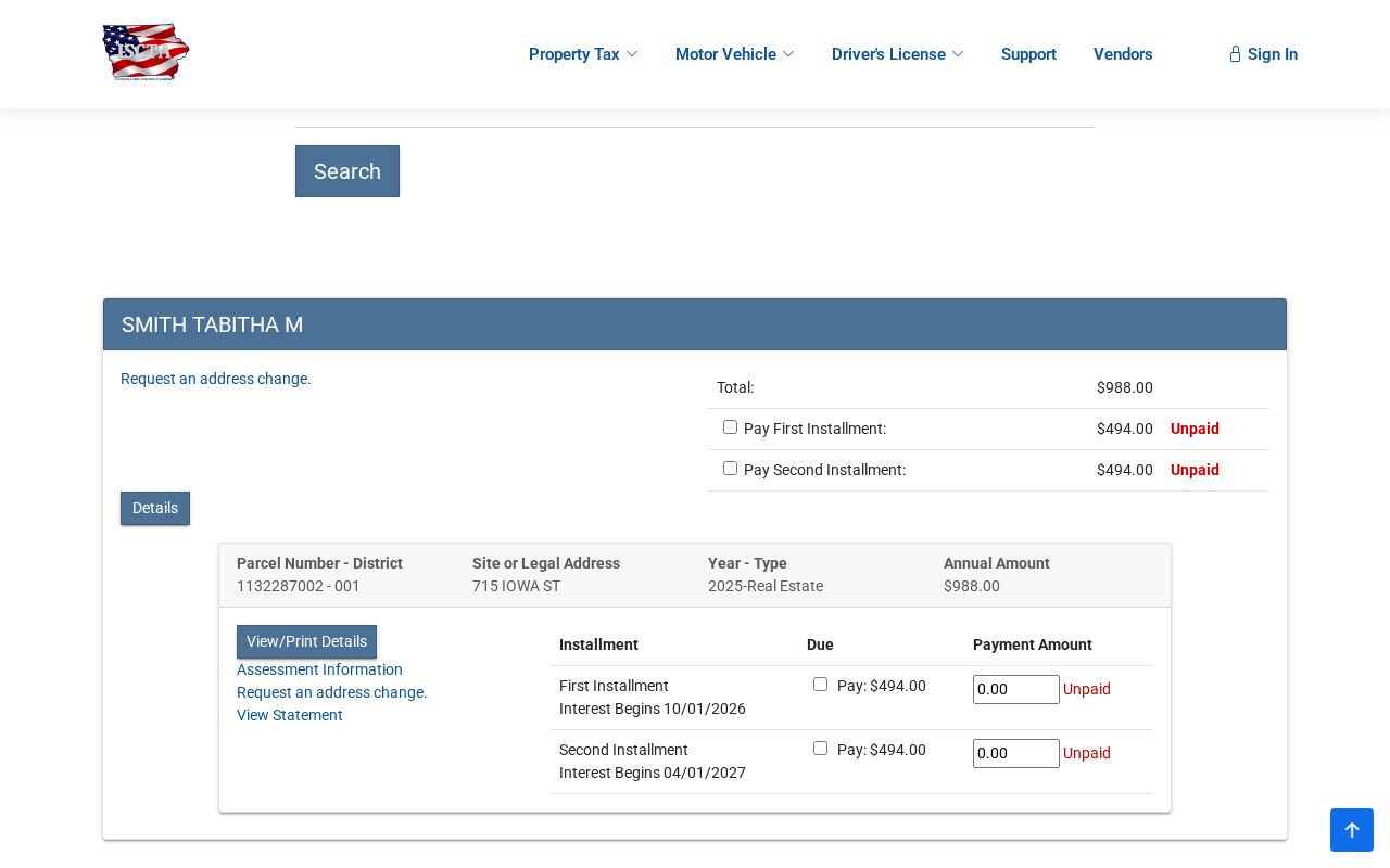
The screen separates parcel and district, site or legal address, tax year and type, annual amount, installments, due dates, payment status, assessment links, statements, and escrow indicators. A tax account is not a deed, and an owner field should not be recast as a resident list.
Records Along a Burlington Street
Each address-keyed source answers a narrow question. A coverage table helps prevent the most common error: blending owner, taxpayer, voter, permit applicant, and subscriber into one supposed household.
| Source | Custodian | Street fact | Route |
|---|---|---|---|
| Assessment roll | County Assessor | Parcel, deed holder, legal description | Free web form or office |
| Tax account | County Treasurer | Tax year, situs/legal address, payment fields | State parcel portal |
| Parcel map | County GIS | Lot position and nearby parcels | Dynamic viewer or data request |
| Recorded instrument | County Recorder | Grantor, grantee, deed, lien, plat | Iowa Land Records or office |
| Municipal activity | City Clerk or Community Development | Dated permit, code, or preservation action | Archive, OpenGov, or request |
| Historical listing | Burlington Public Library | Name or subscriber tied to an address at publication | Microfiche, help desk, or request |
The parcel number is the strongest cross-system key. Keep the date shown by every result because transfers can reach the Recorder, Auditor, Assessor, and Treasurer at different times.
Deeds Behind Burlington Street Records
The Iowa Land Records search is sponsored by Iowa county recorders and requires a free account. It is the current online route for deeds, mortgages, releases, plats, easements, liens, and related instruments. Recently recorded documents may appear briefly in one workflow before moving to permanent Search.
The research screenshot comes from the portal's official search help.
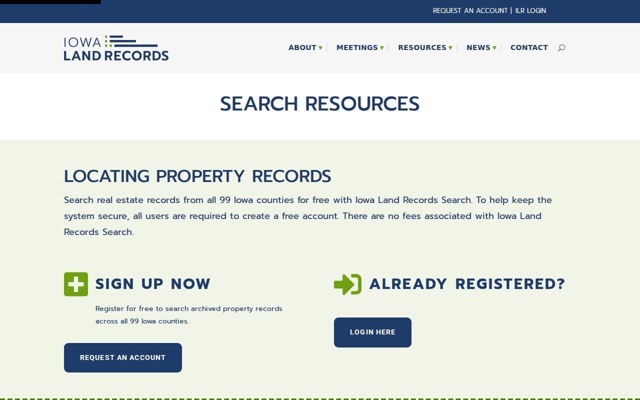
No live Burlington index row loaded during research, so no fictional party, book, page, or instrument appears here. When online coverage fails, call the Des Moines County Recorder at 319-753-8221. The State Historical Society holds county deed series from 1837 through 1902, and the Library has land reels and grantor-to-grantee indexes from the nineteenth century.
A deed-chain search moves from the present holder backward. Note the grantor, the person or body transferring an interest, and the grantee, the recipient. Record the instrument type, recording date, legal description, parcel ID, and any book, page, or document number that the real result shows. Then use the prior grantee as the next grantor search. Mortgages, releases, easements, and probate-related title changes may sit between deeds, so the chain is not always a neat list of sales.
- Parcel
- A mapped unit of land identified by the county, not a household.
- Situs address
- The physical location assigned to property, which may differ from a mailing address.
- Plat
- A recorded map showing lots, blocks, boundaries, or survey facts.
- Criss-cross directory
- A dated directory arranged by street and house number rather than only by surname.
Burlington's 1938 Street Number Shift
The Burlington Public Library warns that city street numbering changed in 1938. That small fact can explain why an old address seems to vanish from a modern parcel search. Reverse directories began in 1889, so the shelf can bridge many pre-change addresses to a name listed at a specific publication date.
Preserve the old number exactly. Then compare the directory page with a period Sanborn map, plat, city file, or other explicit cross-reference before attaching it to a current parcel. Library Sanborn holdings include 1886, 1892, 1900, and 1931, with additions through 1950. A silent number swap can join the wrong family to the wrong lot.
For the volume runs and how to read them, use the Burlington city directory collections. That shelf is historical evidence, while the modern address chain centers on parcels and current custodians.
Burlington Permits by Street
Monthly building permit reports cover published reports from January 2021 through April 2026 plus older archive material. A report can carry a permit date, owner field, parcel, and project description. Community Development also handles planning, zoning, code enforcement, historic properties, and city lots.
OpenGov is used to apply, pay, and check status for several current permit types, but its complete public result fields and retention were not exposed in static research. Ask the City Clerk or Community Development for a narrow address and date range when the archive does not answer the question. A permit applicant, parcel owner, and occupant can be three different people.
The City Clerk at 400 Washington St, second floor, is the practical intake point when the responsible city department is unclear. Burlington's request form asks for a record description and a specific date or range. State whether the needed field is the owner, applicant, permit holder, or named party. The city generally targets a response within 14 working days, though exemptions, volume, and complexity can change that time.
Burlington Streets in Historic Districts
The Burlington Historic Preservation Commission provides another address layer through surveys, inventories, district material, and certificates of appropriateness. Heritage Hill entered the National Register in 1982. Snake Alley, downtown, West Jefferson, and other study areas also appear in local preservation work, but their legal or survey status must be stated precisely.
The manifest image shows the commission's public preservation entry point.
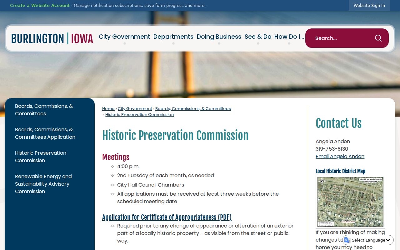
An inventory may link a building, street, applicant, or action to a date. It does not prove current ownership or occupancy. Pair it with the relevant parcel and recorded instrument, and cite the survey or certificate itself.
Check Burlington Street Scope
USPS verifies 52601 as Burlington's main postal point. West Burlington is a separate city with 52655, while 52638 appears as Middletown context. An exact USPS address lookup is still needed because a postal city is not the same as an incorporated boundary.
The same caution applies to mailing and site fields. A deed may show taxpayer and return addresses. The Assessor and Treasurer may show a physical or legal address, while County E911 assigns rural addresses. Keep each label as its source presents it. Burlington's river, bluff, and rural edge make this scope check more than a formality.
Note: Treat a mismatch as a lead to resolve, not as a typo to correct without a source.
Limits of a Burlington Street Directory
Public address records do not form a full roster of every person in a Burlington home. An assessment or deed usually speaks to land and title roles. A tax account speaks to tax administration. A voter lookup confirms limited current registration and polling facts only after a name and ZIP are supplied. Historical books identify a dated listing or subscriber, not unbroken residence.
Private delivery files, motor-vehicle addresses, and utility customer lists are not open street rolls. Iowa Safe at Home may replace a qualifying participant's actual address and provides confidential voter registration. Stop cross-record reconstruction if a protected-address clue appears. Report only the public source, its date, and the narrow fact it supports.
Current voter access has a second limit: the public Iowa lookup starts with first name, last name, and ZIP rather than offering a street-wide browse. An ambiguous match may ask for house number and full birth date, but those details are conditional and should not be republished. Historical election questions belong with a dated list request, the County Auditor, or the Library's 1868 voter volume and 1877 Register of Elections.
Lawful use. Use Burlington address records for lawful personal research. Never use them to stalk, harass, threaten, or expose a protected person.